Geological Mapping: Importance in Site Assessment and Planning
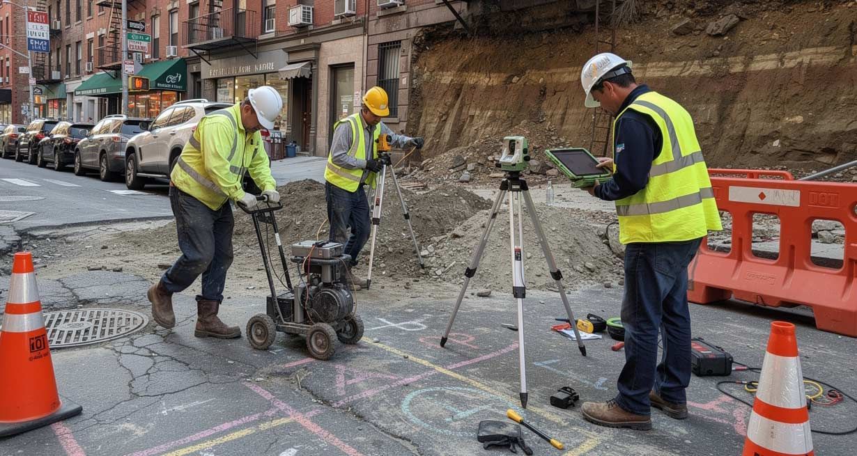
Geological mapping serves as the foundation for successful site assessment and planning in engineering. This critical process analyzes the Earth's composition, structures, and historical development, providing vital information that informs construction, resource extraction, and environmental protection. By identifying potential risks and opportunities, geological mapping ensures that engineering projects are built on secure and sustainable grounds.
The Role of Geological Mapping in Engineering Projects
Engineers rely heavily on geological mapping to obtain a clear and dependable understanding of the subsurface conditions at a project site. This process involves surveying the geological characteristics of an area—such as rock types, fault lines, soil conditions, and groundwater resources. Each factor significantly influences site feasibility and impacts the overall project design and execution.
Geological maps integrate a wide array of data, including geophysical measurements, soil sampling, and satellite imagery, allowing for a comprehensive view of the land. This synthesis is not just a tool for visualization; it’s an essential guide for making informed decisions about project placement, structural design, and material selection.
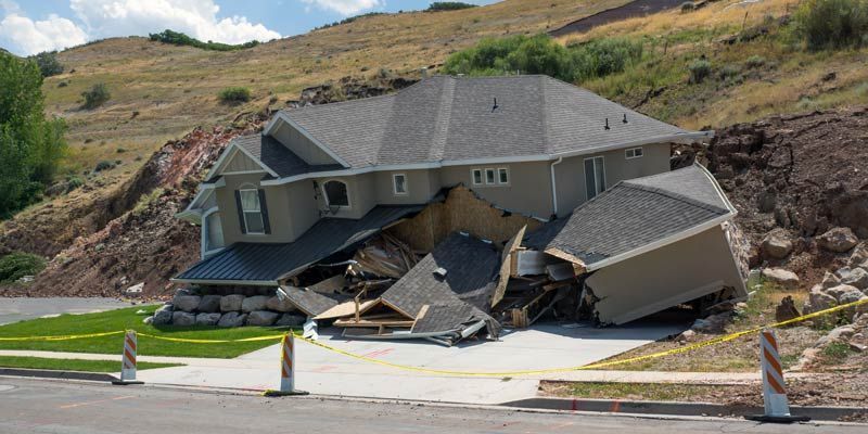
For some projects, the lack of accurate geological mapping can lead to costly mistakes. For example, foundational instability due to undetected fault lines or excessive settlement in areas with soft soil can compromise an entire structure. By incorporating geological mapping early in the planning stages, engineers can anticipate and mitigate such risks well before they evolve into critical issues.
The Benefits of Geological Mapping in Site Assessment
- Identifying Subsurface Risks - The subsurface conditions of any site play a fundamental role in determining its viability for construction or other forms of development. Geological mapping highlights potential hazards such as fault zones, underground voids, or areas prone to liquefaction. These findings are crucial not only for ensuring structural safety but also for adhering to local and regional building codes. Through geological mapping, engineers can avert catastrophic events caused by unstable ground conditions. For example, in earthquake-prone areas, maps help identify active fault lines, enabling engineers to adjust the project design to minimize seismic hazards. Similarly, maps of landslide-prone slopes can guide excavation and stabilization efforts to prevent future slope failures.
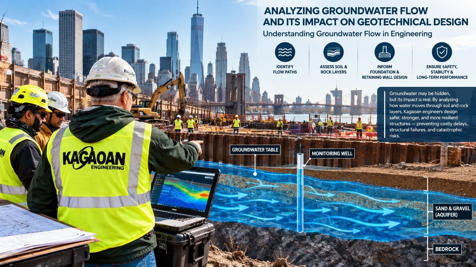
- Supporting Groundwater Management - Geological mapping is indispensable for understanding groundwater distribution and movement. This insight is vital for projects like reservoirs, dams, and urban water supply systems. Engineers can identify aquifer locations, groundwater depths, and flow patterns, enabling effective water management solutions tailored to local conditions. For regions vulnerable to flooding, mapping helps facilitate drainage planning by pinpointing water infiltration zones and natural drainage points. These measures can protect infrastructure and reduce long-term maintenance costs caused by water damage.
- Cost and Efficiency Benefits - Developers and engineers gain significant cost advantages when geological mapping is integral to site assessment. By revealing hidden subsurface conditions early in the process, it becomes possible to avoid expensive redesigns, construction delays, or remedial measures. Selecting the right foundation type, material, or excavation strategy based on mapping results ensures optimal resource use and efficient project execution.
Applications of Geological Mapping in Engineering Projects
- Civil Infrastructure Development - From roadways to high-rises, modern infrastructure depends on geological mapping as an essential parameter for site selection and design. Road construction projects, for instance, require detailed slope stability analysis to predict areas likely to experience erosion or landslides. Similarly, mapping underlying rock formations ensures that bridge foundations provide adequate support even in challenging locations. When engineers plan urban developments, geological maps aid in identifying stable zones for construction versus areas that need reinforcement or avoidance due to geological instability.
- Mining and Resource Extraction - Efficient resource extraction depends on precise geological data. Mining engineers use geological mapping to pinpoint ore deposits, assess mineral quality, and plan extraction methods that minimize environmental impact. These maps also reveal critical details about the surrounding rock structure, ensuring safe mining procedures and operational continuity. Beyond metal and mineral extraction, mapping is equally important in quarries, oil fields, and geothermal energy projects. Understanding subsurface geology prevents unnecessary drilling or excavation, ultimately saving time and costs.
- Environmental Engineering - Environmental conservation projects also benefit extensively from geological mapping. Initiatives like waste management plants, landfills, or contaminated site remediation demand a thorough understanding of the site’s geology. Mapping ensures these facilities are strategically positioned to reduce environmental risks, such as groundwater contamination or unregulated soil erosion. For projects emphasizing habitat conservation, geological mapping complements ecological assessments by defining the terrain and ensuring compatibility with various land uses.
Geological Mapping Techniques and Technologies
Advancements in technology have revolutionized the field of geological mapping, making it possible to collect and analyze data with greater precision. Techniques such as remote sensing, GPS surveying, and geophysical imaging have vastly improved the ability to detect and interpret complex geological structures.
Light Detection and Ranging (LiDAR) technology, for example, enables engineers to create high-resolution maps of the land surface. When combined with Geographic Information System (GIS) software, these maps enable interactive visualization and detailed spatial analysis, supporting better decision-making during the planning stage.
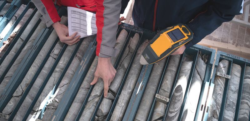
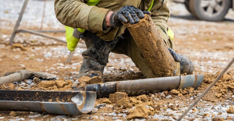
Seismic and electromagnetic surveys also play a crucial role in modern geological mapping. These geophysical techniques provide subsurface insights by analyzing wave propagation or electrical conductivity. For deeper investigations, exploratory boreholes and drilling are used to obtain core samples that confirm subsurface conditions.
Addressing Challenges in Geological Mapping
While geological mapping offers numerous advantages, it is not without challenges. Differences in terrain accessibility, for instance, can complicate on-site data collection in remote or mountainous regions. Additionally, variable weather conditions or densely vegetated sites might mask critical geological features.
Despite these hurdles, employing multidisciplinary approaches and technological innovations can effectively address most mapping challenges. Strategic collaboration between geologists, engineers, and environmental scientists enhances the accuracy and reliability of mapping data, ensuring comprehensive site planning.
Conclusion
Geological mapping remains a central pillar in site assessment and planning, bridging scientific insights with practical applications. For engineering projects, this process minimizes risks, enhances safety, and drives cost-effective planning. Whether designing urban infrastructure, extracting natural resources, or conserving ecosystems, geological mapping provides the clarity and confidence needed to execute complex projects with precision.
By investing in geological mapping early in a project’s lifecycle, stakeholders lay the groundwork for success. At Kagaoan Engineering, we understand the importance of thorough geological analysis in engineering projects. Our expertise ensures that every site assessment unlocks the potential for innovation, safety, and excellence.